Inspecting Water Aqueducts
Challenge
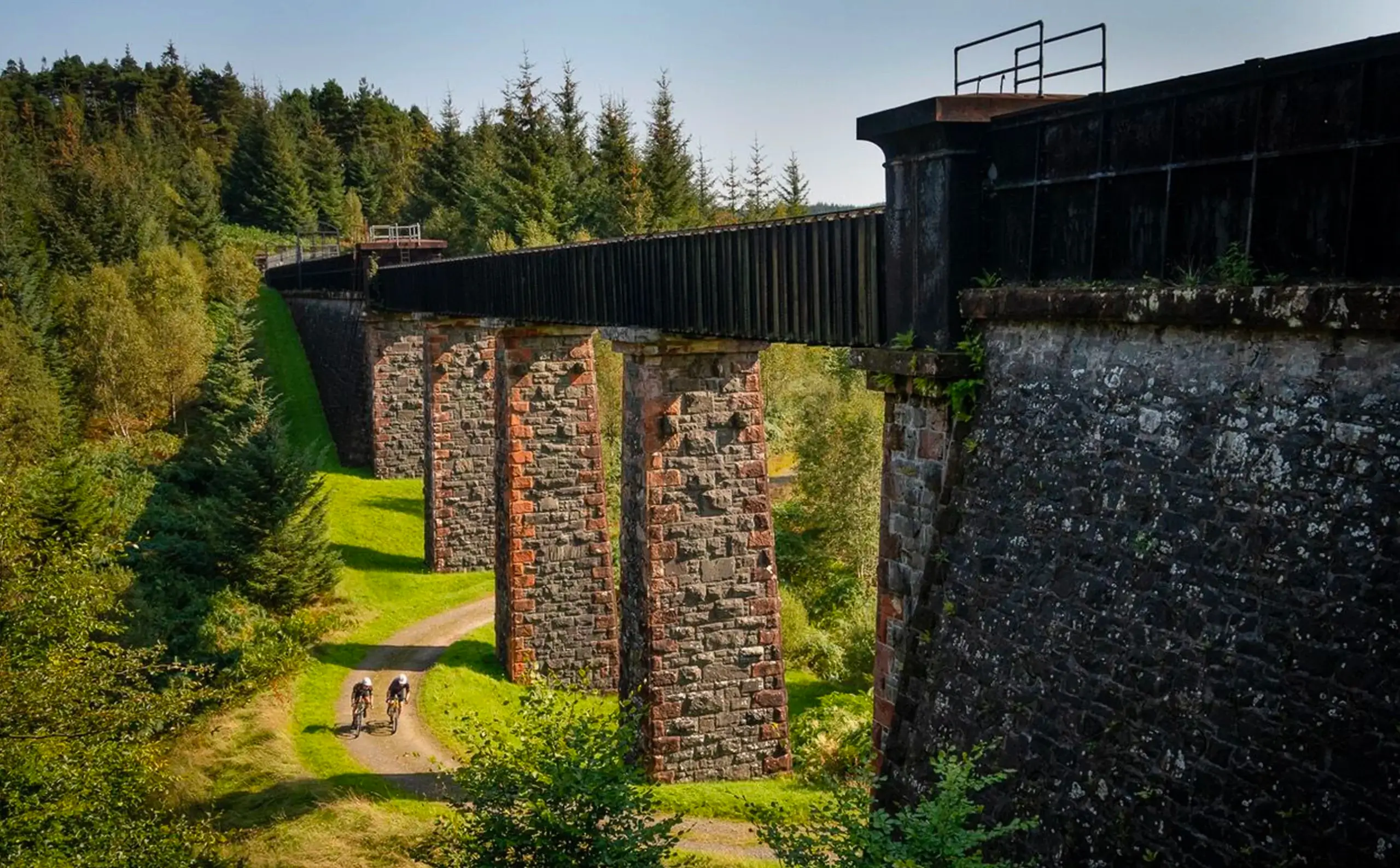
Aqueducts are an integral asset in the transit of drinking water from storage reservoirs and dams to treatment plants all around the world. Some of these assets have been in operation for hundreds of years, and owners and operators are looking to safely monitor and maintain their condition for the years to come.
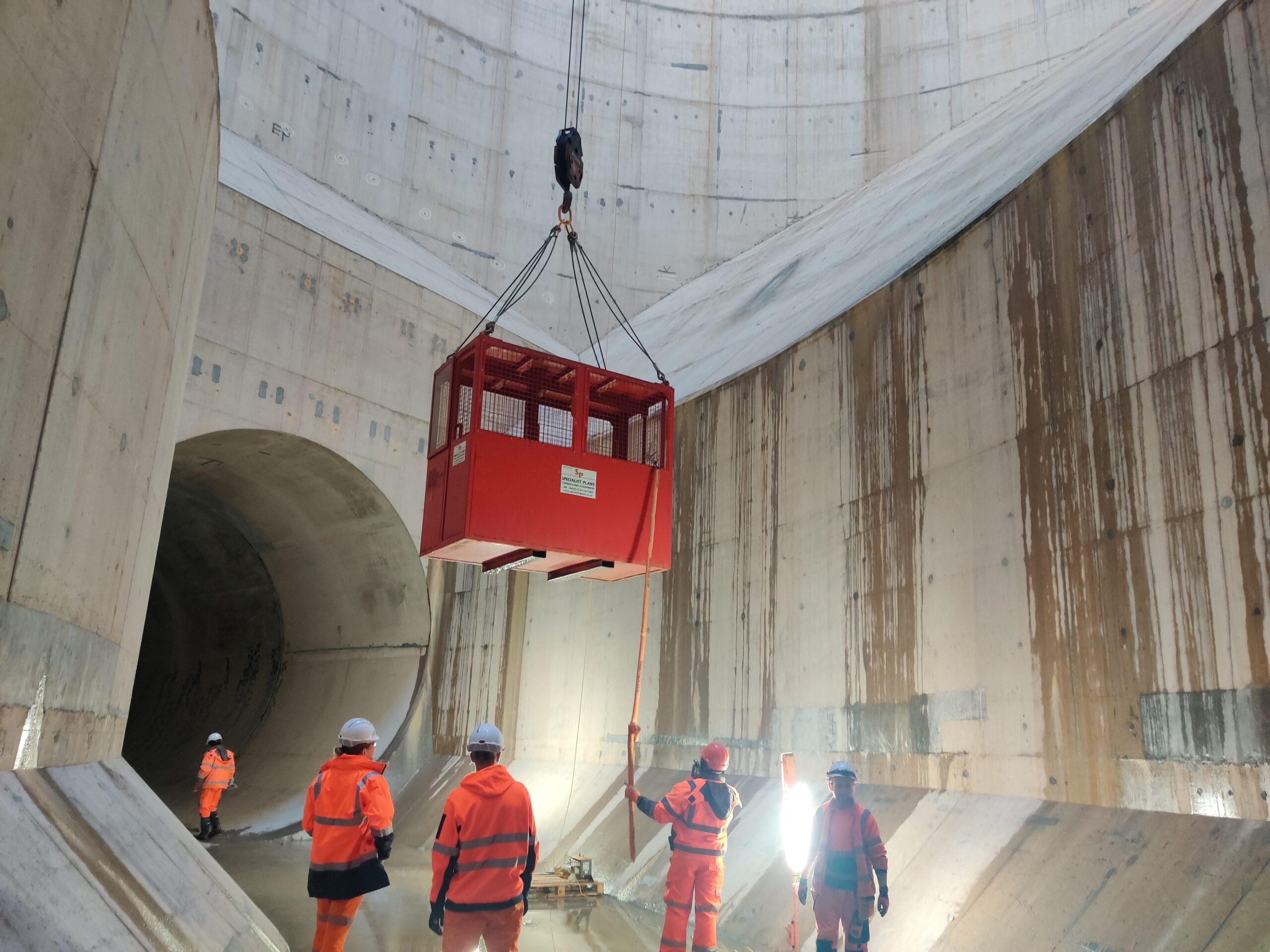
Traditional inspection methods for aqueducts involve stopping the flow of water to allow humans to enter and conduct a condition assessment. Not only do these methods for inspections have an element of risk, due to the confined space entry, but they also rely on the subjectivity of on-the-spot analysis to identify potential issues and features of interest.
A major water service provider in Scotland approached Abyss Solutions to develop a suitable inspection technology and methodology to enable the comprehensive inspection of a specific aqueduct, with minimal disruption to the water supply. This 45km long aqueduct provides over 60% of the raw water supply to the city’s water treatment plant, it would be a significant benefit if the inspection could take place without interruption to the city’s water supply.
Solution
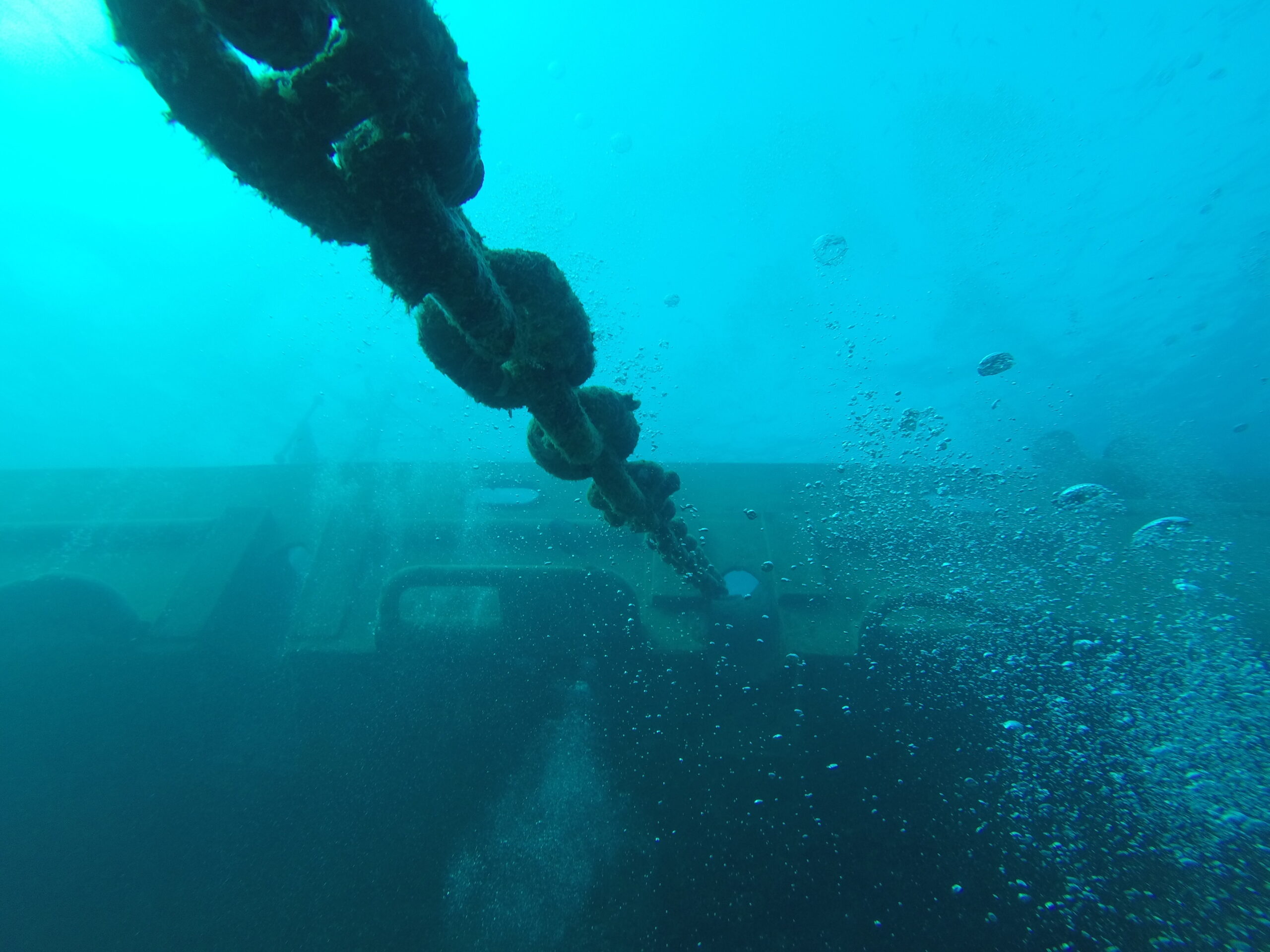
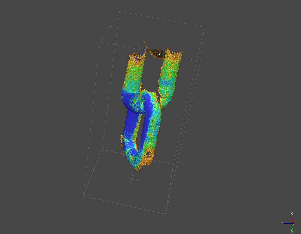
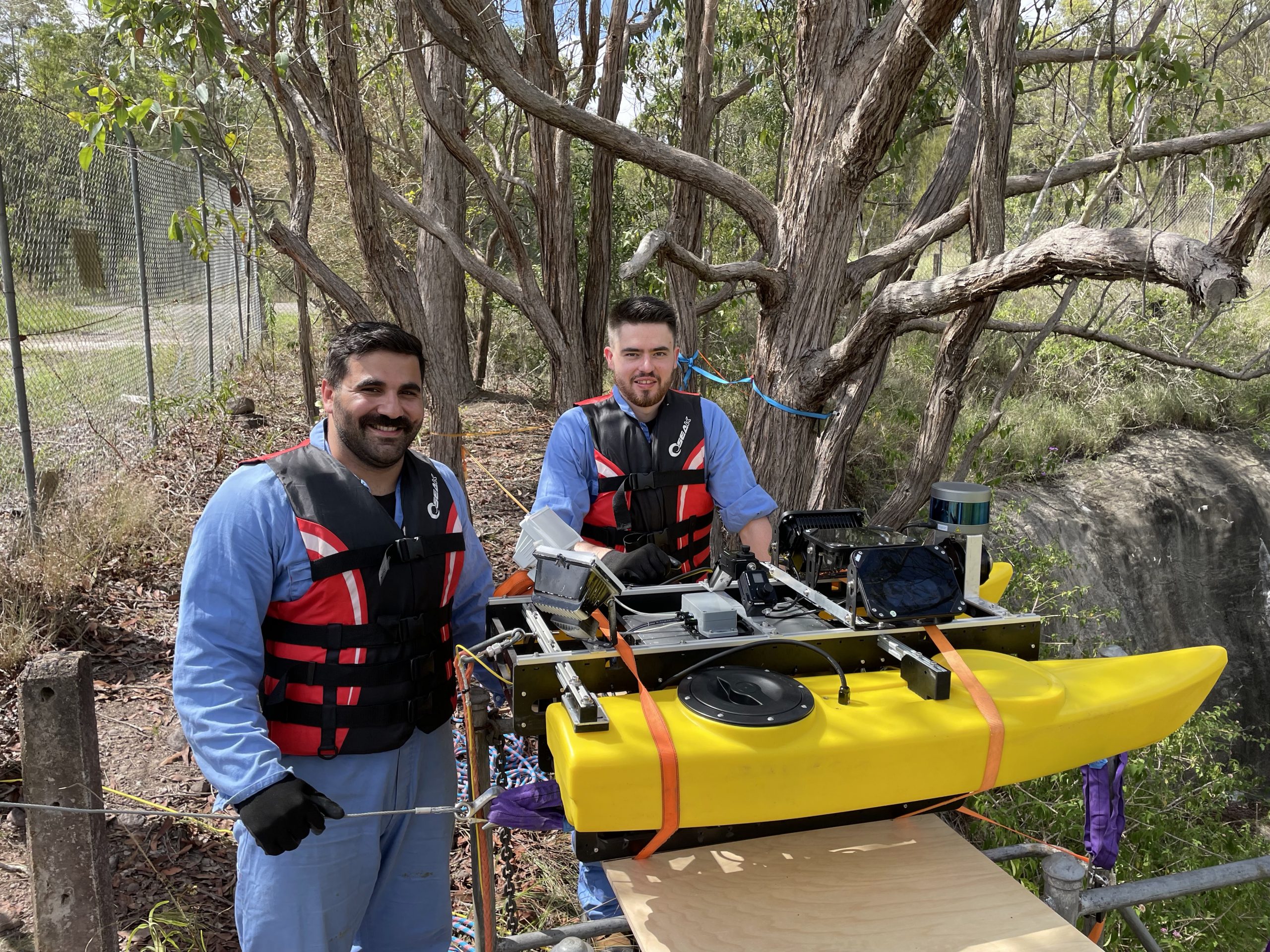
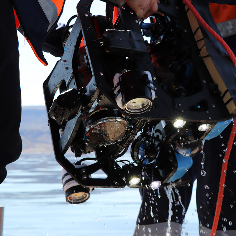
Abyss’ solution was the Platypus Autonomous Surface Vessel, a floating robotic inspection platform fitted with an array of cameras and sensors. Once deployed in the aqueduct, Platypus controls its position and velocity along the watercourse. This enables the capture of high-resolution imagery above and below the water line, dimensional data from laser and sonar scanners and positioning data from optical flow and inertial measurement sensors.
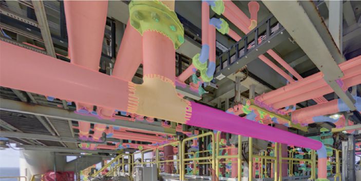
The comprehensive dataset was processed by Abyss software engineers, assessed by asset integrity engineers, and delivered to the client with a user-friendly, web-based data platform.
Results
An extensive survey of over 35km of tunnels along the aqueduct was completed safely, and without interruption to normal water supply operations. Abyss Solutions was able to perform the inspection and provide the data at a 20% cost reduction over traditional manual inspection methods. The web-based platform allowed the client to easily access the inspection insights as well as intuitively interpret and interact with the substantial amount of data.
By comparison, outputs from traditional human-entry surveys are often subjective, non-comparative or non-comprehensive. The centerline of each tunnel is now possible to view in satellite imagery, providing vital information for any activities on the ground surface above or nearby the aqueduct.
